
Know where the next
water is
Springs, fountains, taps and refill stations, on the trail and in town. With notes from the people who filled up there yesterday.
Fill up before your bottle runs out.


Never guess where your
next refill is
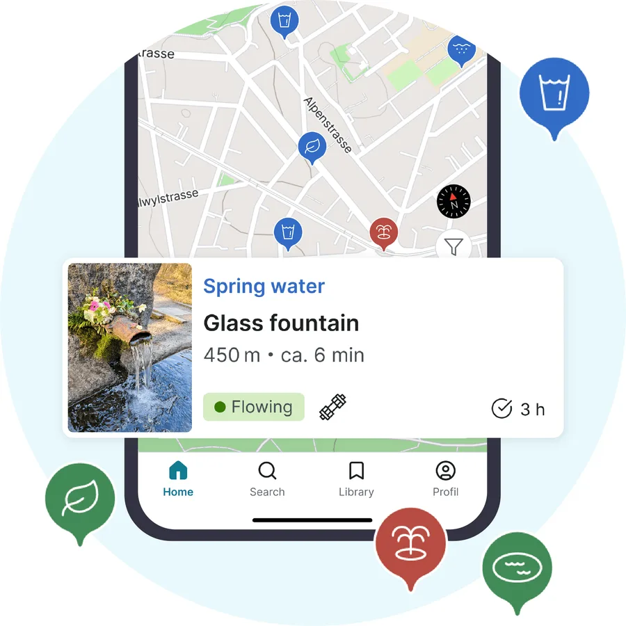
Springs, taps and refill stations on one map
Water can be 20 km apart on some sections. droply shows you where the next one is while you still have a choice.
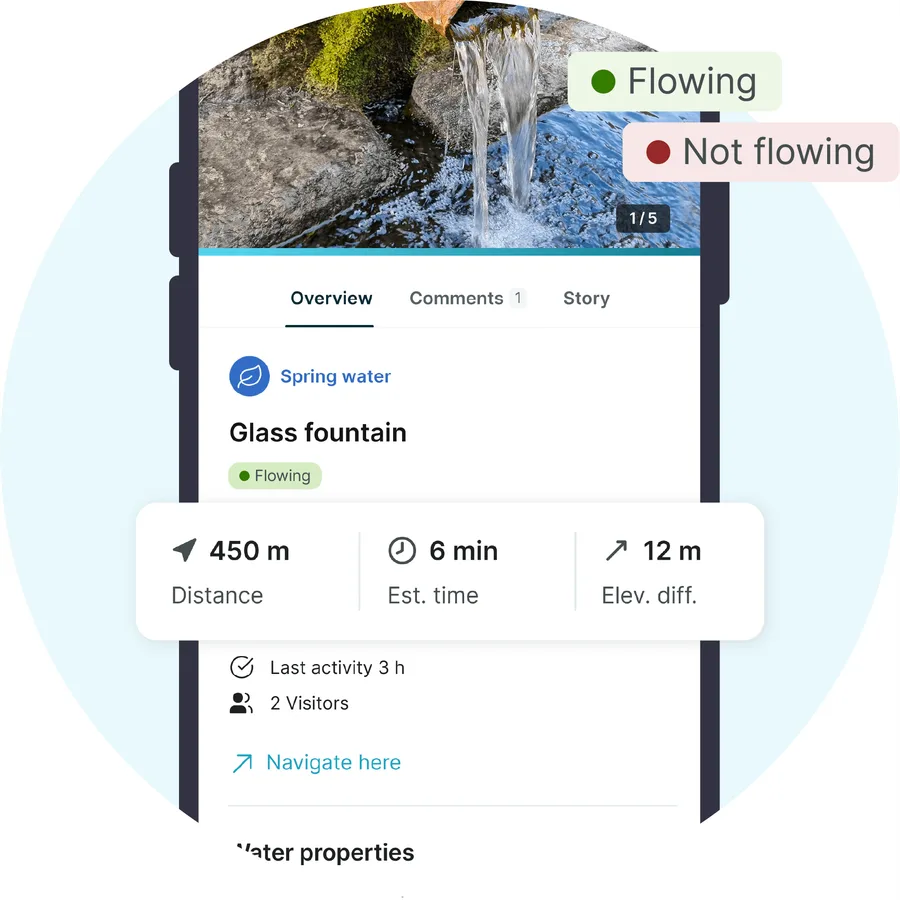
Know what's flowing before you arrive
Springs dry up in summer and fountains close for winter. Every water source shows when someone last found water there.
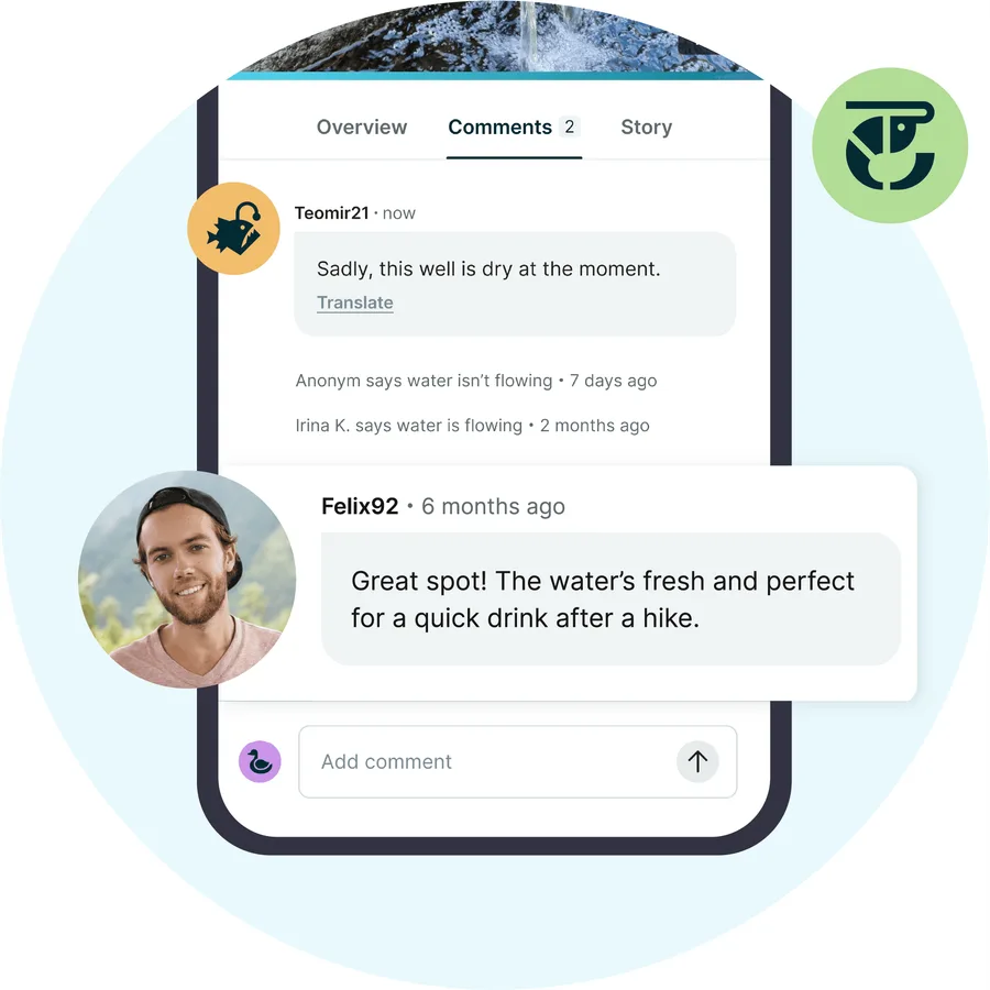
Kept current by the people on the trail
Check in at a water source, add a photo, say whether it was running. The people behind you get it, and so do you.
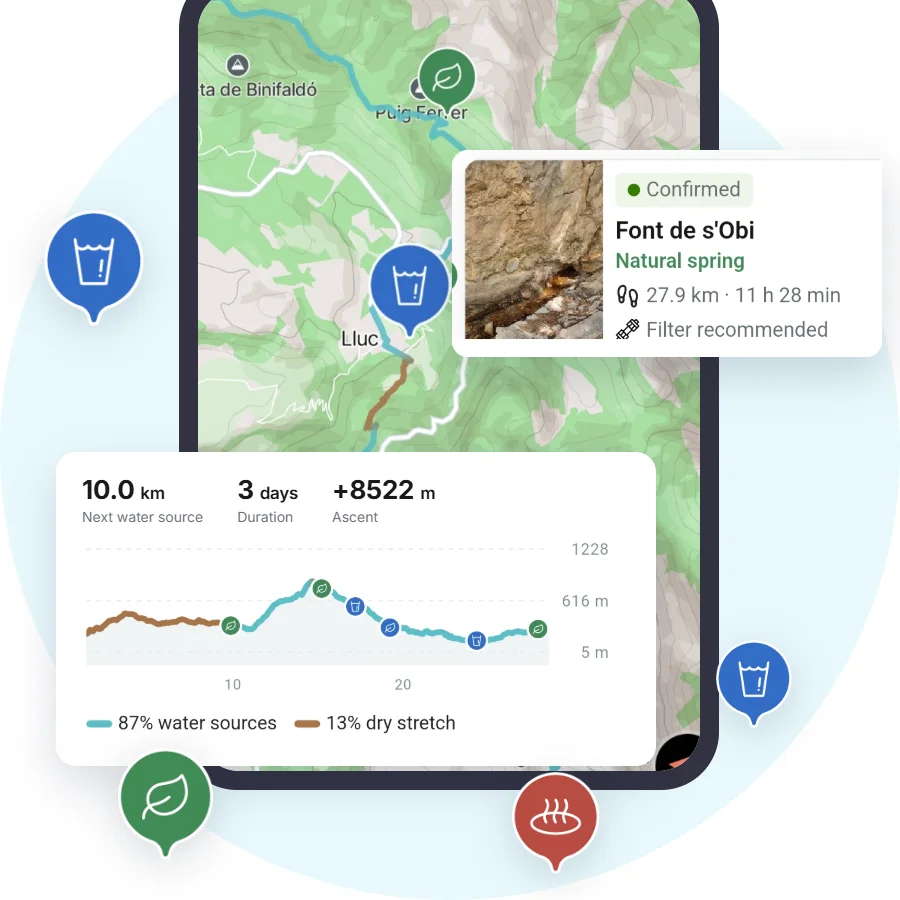
See the dry stretch before you leave
Upload your route and see every water source along it, in order, with distances and flow status. droply PRO identifies the dry stretch too, so you carry exactly as much water as you need, not more.
 Spring water
  Tap water
  Drinking fountain
  Natural spring
  Ground water
  Mineral water
  Creek
Creek  Water pond
  Hot spring Spring water Tap water Drinking fountain Natural spring Ground water Mineral water Creek Water pond Hot spring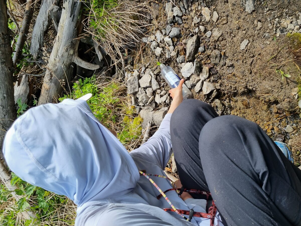
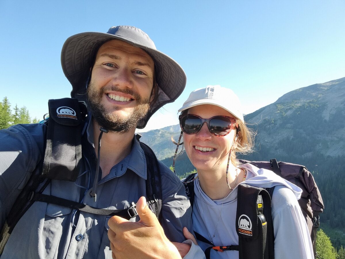
Built by thru-hikers
Two CDT thru-hikers built droply, after months of planning water carries, hunting for springs and asking locals where to refill.
We built the app we wished we had on the trail.
A city walk counts as much as day 40 of a thru-hike.
Our full story →For hikers and backpackers
Know where the next water is before you leave camp.
Springs, taps, fountains and refill points on:
- Day hikes
- Multi-day hikes
- Thru-hikes
- Backpacking trips
- Trail runs
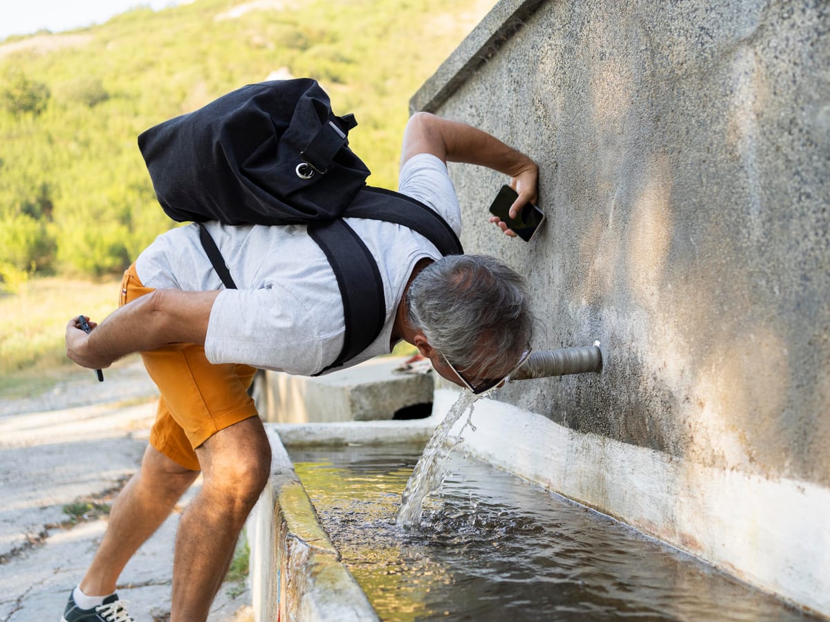
For cyclists
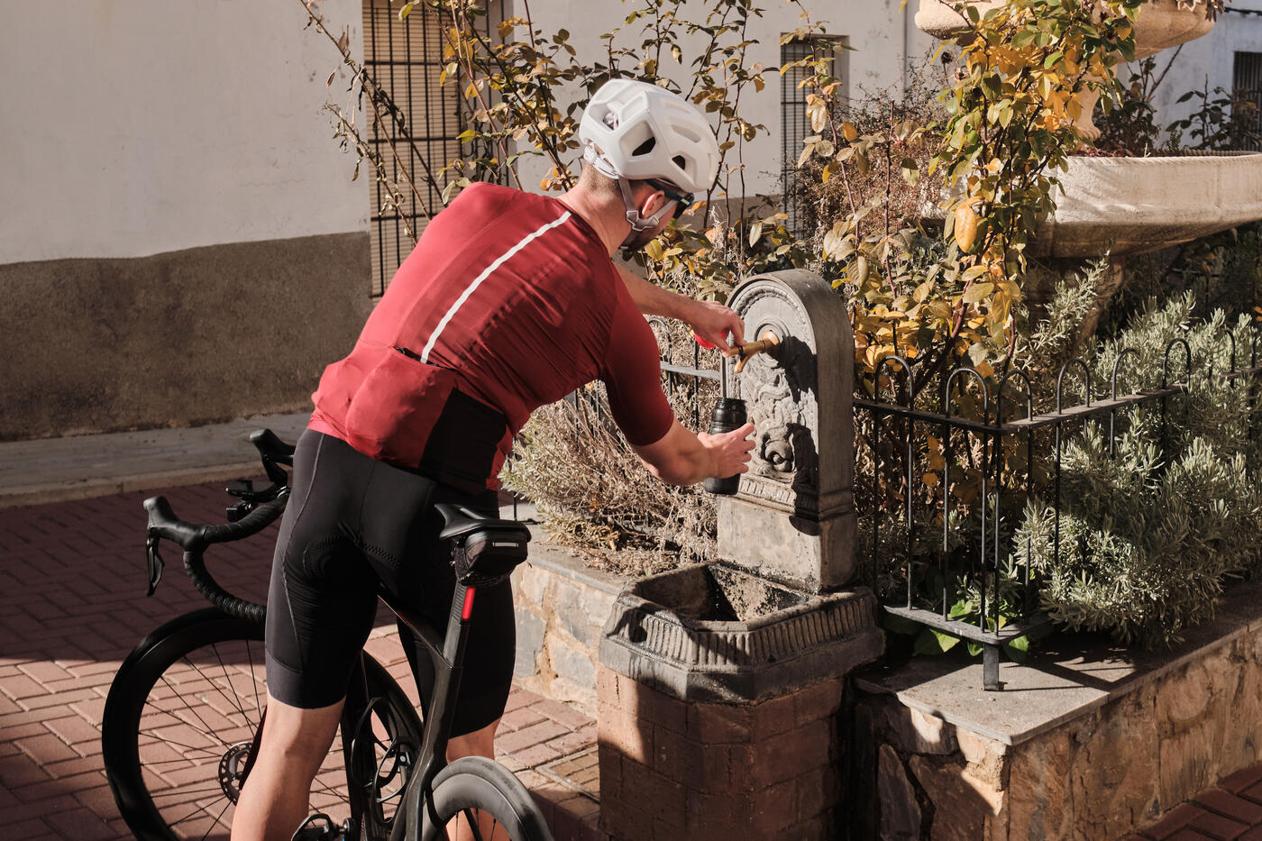
Find somewhere to refill without leaving your route. Road, gravel, bikepacking or the ride to work.
- Road cycling
- Gravel riding
- Bikepacking
- Cycle touring
- Daily commuting
Simple as a drop of water
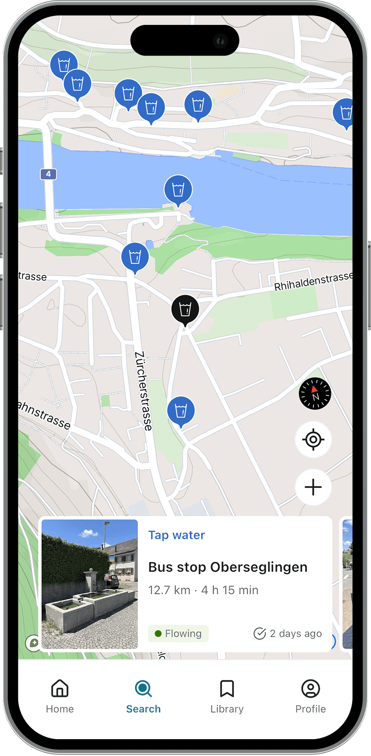
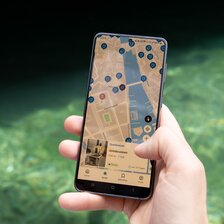
Open the map and see what is around you.
Find water
Open the map and see the water sources near you: springs, fountains, taps and more.
Check in
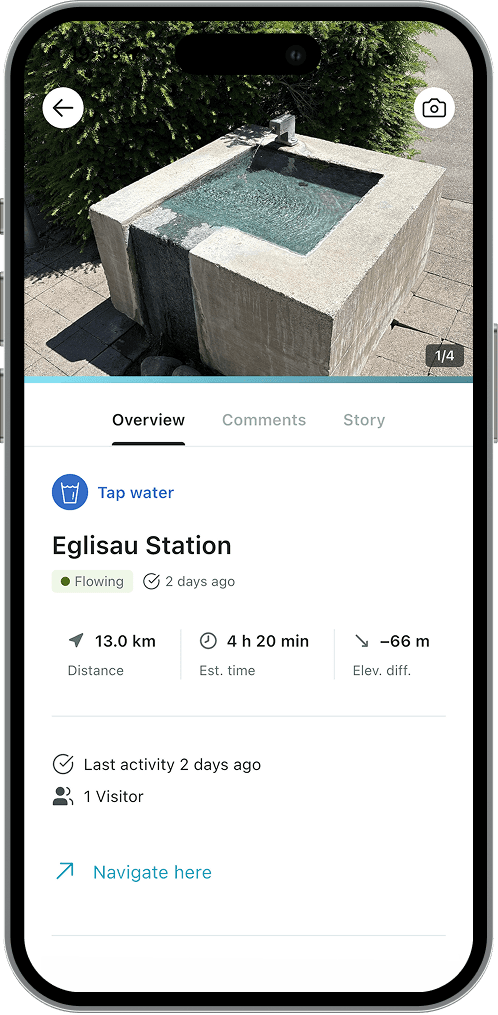
Standing at a water source? Say whether it was running. One tap is enough.
Collect points
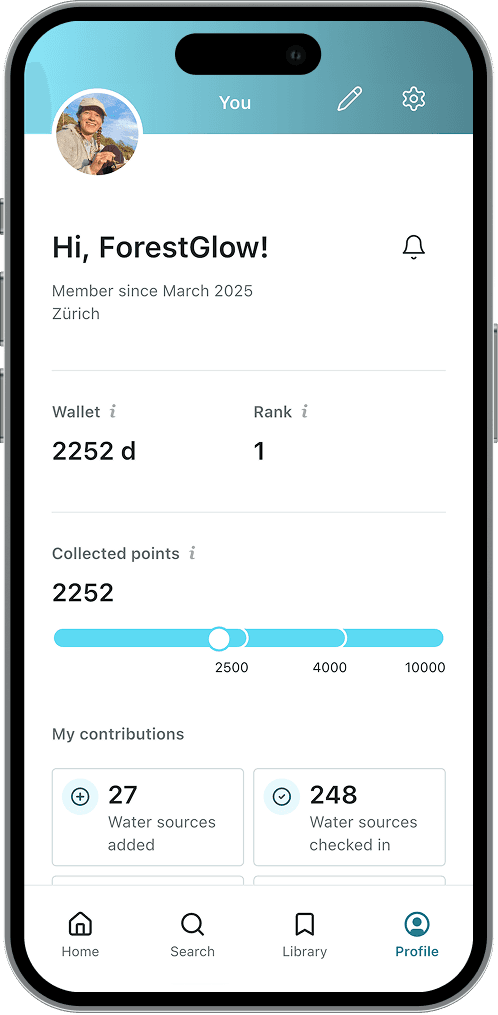
Add a water source, or say whether the water was running. Every note earns points, and it means the next person does not arrive at a dry tap.
Plan the whole route
Upload it once, then walk it without wondering.
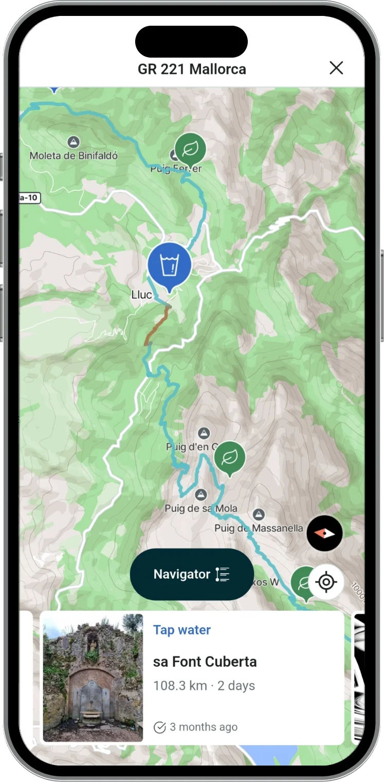
See the dry stretch
Upload a GPX file or plan your route on the map. droply identifies every dry stretch on the route before you set out, so you know exactly where to carry extra water and where you can refill.
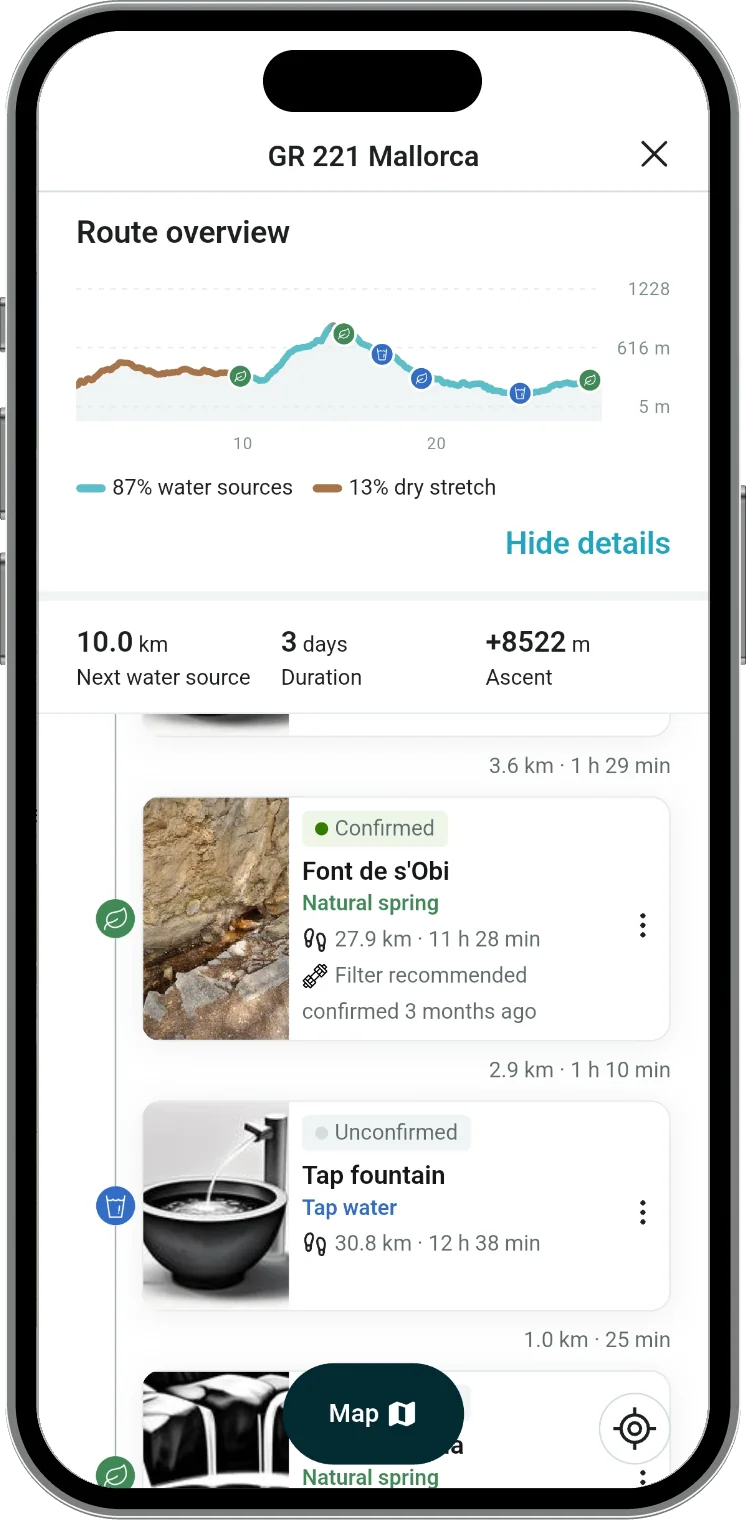
Follow it like a guide
Open the route overview: the next water source, how far it is, and how much of the route is dry, all in one place.
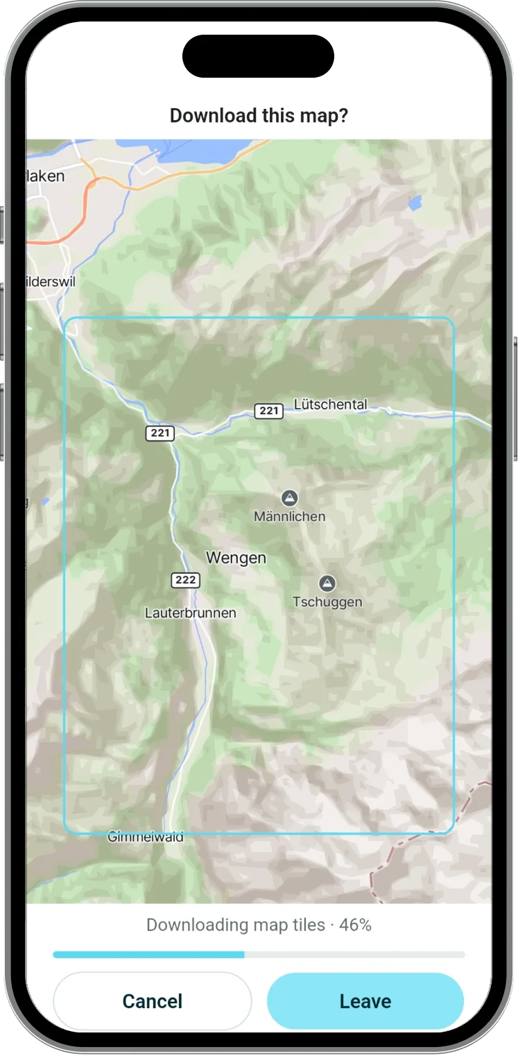
Take it offline
Download the map for the whole route before you leave. droply PRO works in airplane mode, no signal needed.
For travellers and city walks
One refill is one plastic bottle less.
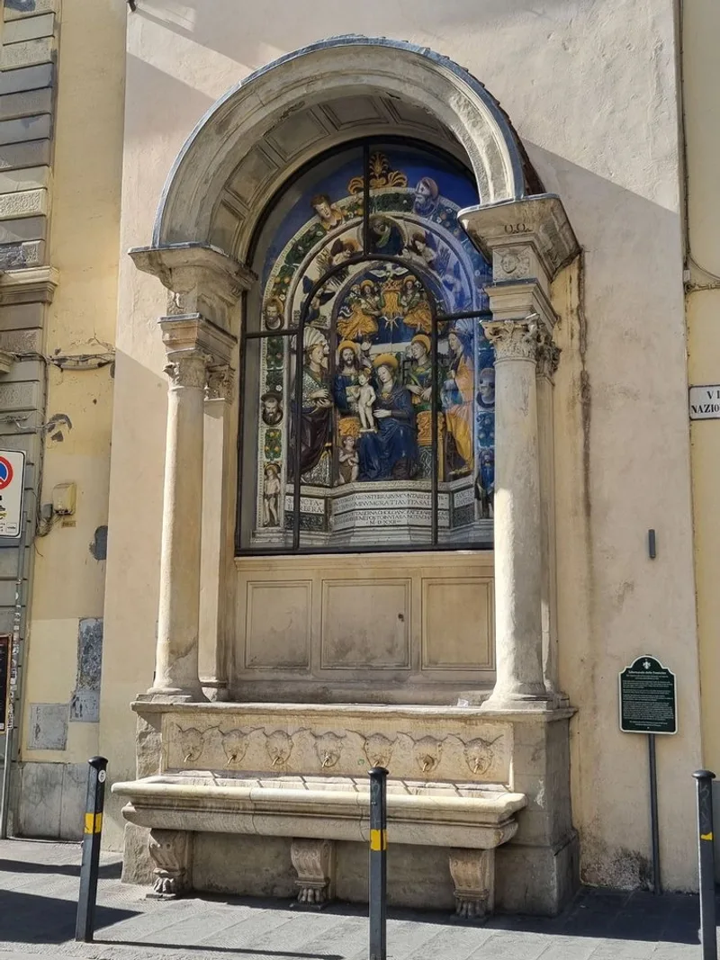
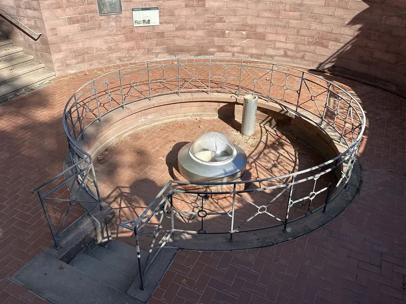
Public fountains and refill stations in the city you are walking through today.
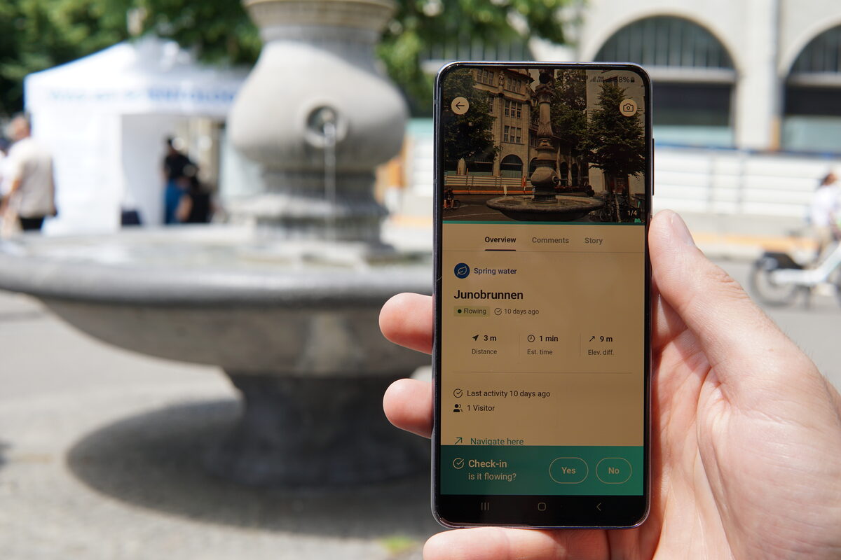
Kept current by the people who passed by yesterday
Follow @droply.app on Instagram for the fountains, springs and taps people are sharing right now.
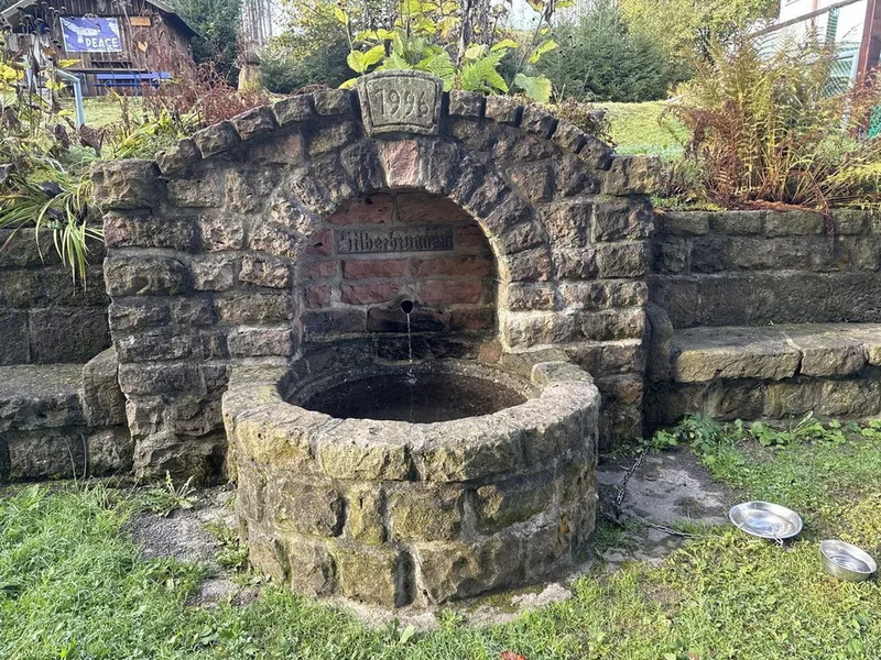
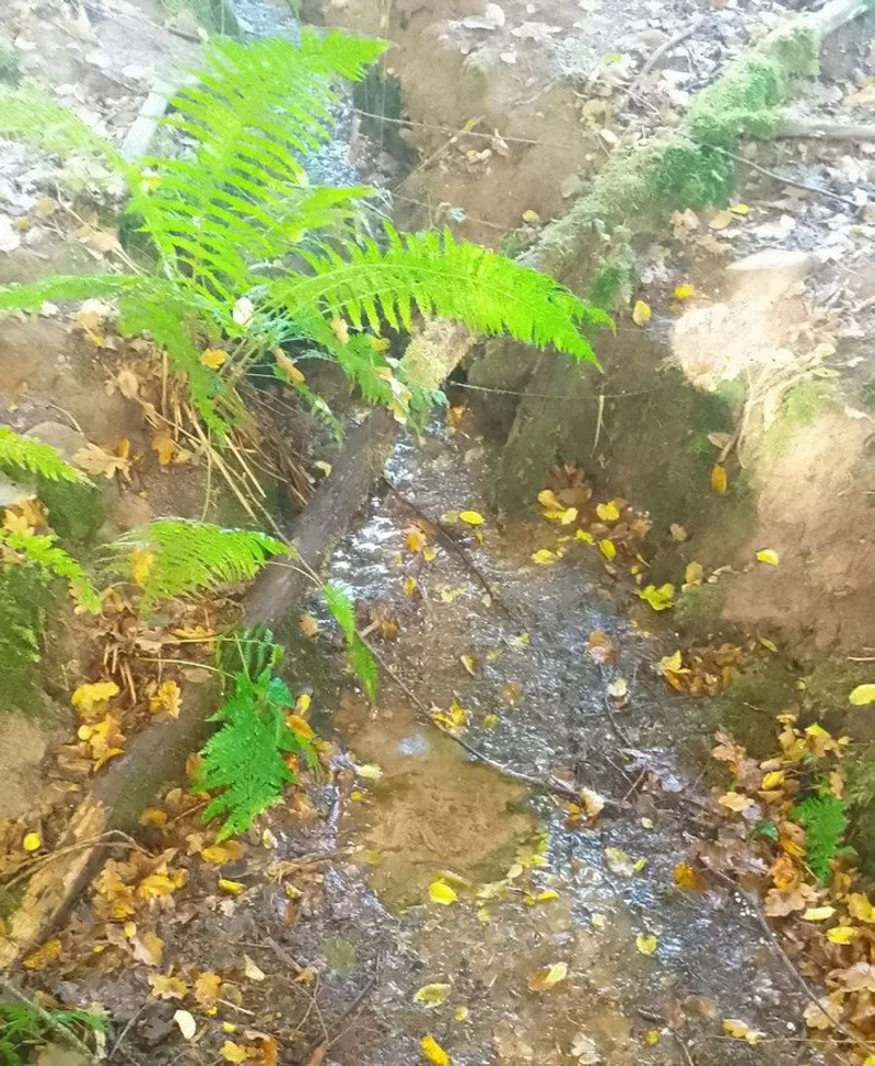
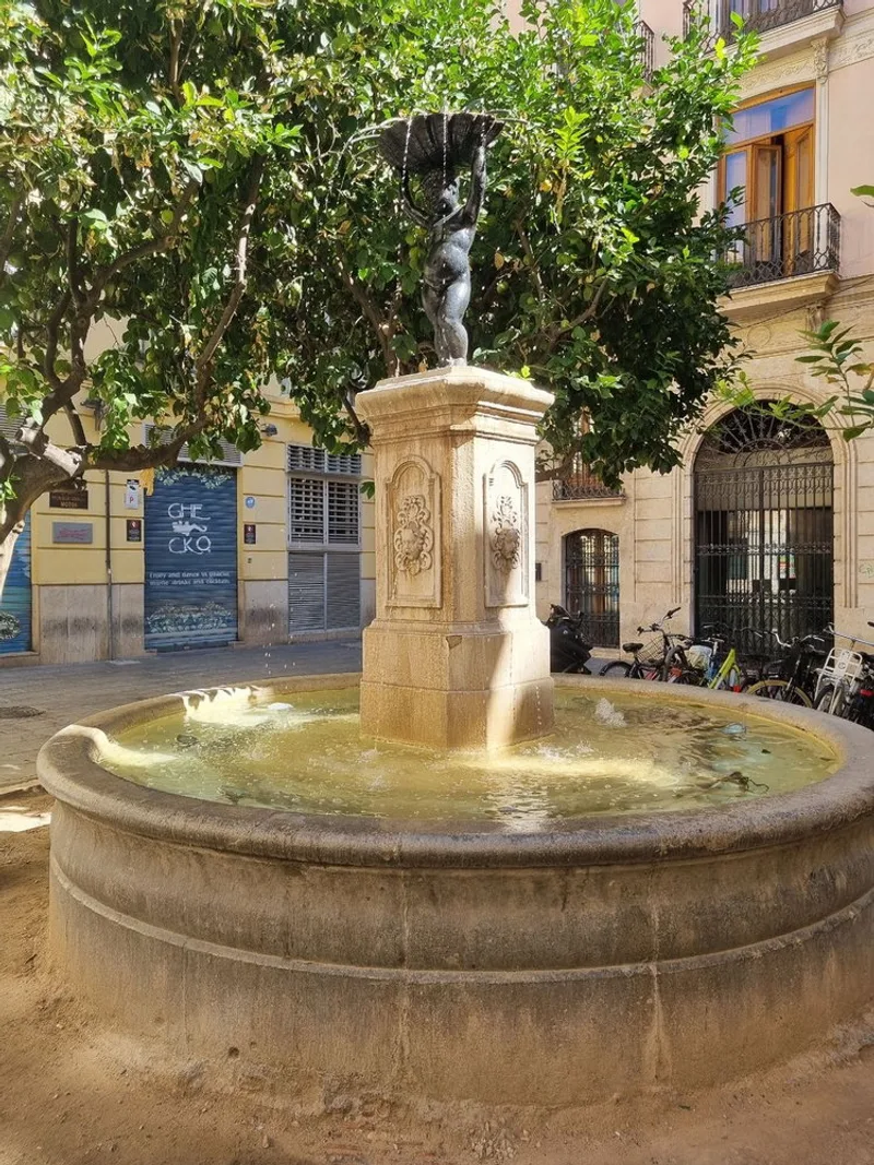
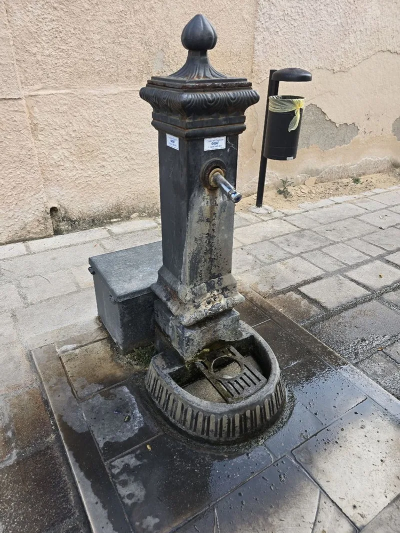
Frequently asked questions
Answers to frequently asked questions
What is droply?
droply is a free community-powered app for finding water sources outdoors: drinking fountains, natural springs, streams, wells, and more. Hikers, backpackers, and bikepackers use it to check whether a water source is currently flowing, see recent community reports, browse photos from people who were just there, and add their own reports so the next person has reliable information. Every water source in droply is either community-reported or imported from open map data, then kept current by the people who actually pass by.
Can I use droply for backpacking and thru-hiking?
Yes. droply is built with long-distance hikers and backpackers in mind. You can check water sources along your planned route, read recent reports from other hikers on the same trail, and plan your water carry across dry stretches, especially useful on sections where water can be 20+ miles apart. Community members leave detailed notes on water quality, whether a source requires filtration, and how reliable it is in different seasons, giving you the kind of ground-truth information that no guidebook can match.
Is there a tool for finding drinking water while exploring a city on foot?
droply is a map of public drinking fountains, taps and refill stations in cities worldwide, built for exactly this: walking around a place you do not know and needing water without buying a bottle. Open the map, see every fountain nearby with its status and photos, and refill as you go. It works the same whether you are sightseeing for an afternoon or living in a new city, and it is free.
Does droply work offline?
droply saves water sources on your phone, so you can browse what you already loaded without a signal. Edits, comments and photos you make offline wait in a queue and upload as soon as you reconnect. A banner at the top of the app tells you where things stand. With droply PRO you can also download a whole map area, water sources included, before you leave.
Is droply free to use?
Yes, droply is free to download and use. Finding springs, taps, wells and every other water source on the map, along with water source details, check-ins, photo uploads, community contributions, and offline caching, is all free. droply PRO is optional, and adds two things: offline map downloads and the water planner for routes. You can buy it, or unlock it for free with the points you already earn from check-ins and other contributions. droply itself stays free, always.
Fill up before you go.
droply is free, and works wherever you walk or ride.